A Sabbath at Mount Buffalo
A few weeks ago in the middle of May, before the Australian snow season started, Jesse, Eliana and myself spent a Sabbath hiking around the Mount Buffalo National park, in norther eastern Victoria (Australia). The original plan was that Jesse and I would do a longer hike in a different alpine location, but the weather forecast for the region we were thinking of hiking in was for fairly cold weather with possible rain (snow at higher elevations). Not the best weather to be hiking in. And then Jesse was informed that he had a staff meeting in the afternoon, which meant no full day hiking as Jesse had to be back home by about 2pm. Originally it was only Jesse and I that were planning to hike, but when Eliana found out she asked if she could come along too. So then there was the 3 of us.
Mount Buffalo National Park is free to enter, even during snow season, and is lower in altitude than some of the other Victorian ski resorts, and so doesn’t have any operating ski lifts, but it does cater for nordic skiers with the many walking tracks being utilized as skiing trails in winter. We hiked only a few weeks before the official start of the snow season, and so we weren’t sure what to expect. Would there be snow? Ice? Or would the trails be easy enough to hike on inspite of the approaching snow season?


There was no snow on the day we hiked. But it was cold. There were plenty of frozen ponds, with interesting shapes due to the ice freezing and re-freezing over the days before we hiked there. Some of the trails had significant sections of ice which made the hiking somewhat hazardous at times, but we managed to navigate the various trails without injury.

Arriving at the car park near the Chalet, we set off on our first destination – the Underground River, The Underground River goes through a cave system, but as we didn’t have a cave guide, we didn’t go into the cave system itself, but we did see some interesting scenery. There were a number of lookouts along the walk to the Underground River, and the views from the lookouts were spectacular as there was no cloud over the mountain and the skies were mostly clear, although there was some fog in the valleys. This all made for an interesting and awe-inspiring hike. This section of the hike was fairly easy going until we got near the Underground River – then it started descending steeply. The other side of the Underground River involved some steep ascending too.


After we left Underground River, Eliana showed that she wasn’t very accustomed to hiking and was complaining of dizziness on the ascent away from the Underground River. But after some rest she was able to continue on. Our next destination was View Point, and to do this we had to turn off the track were were on. But we weren’t sure whether we actually got to View Point or not until after I had uploaded the hiking GPS data to Strava and I was able to confirm that we had in fact reached View Point. We thought we had, but it wasn’t entirely clear that we had as there was no signage to tell us. As the name implies, View Point also was a great point to see a good view. But around it there was also some interesting large rock formations. The sort of rock formations that make you wonder how on earth they were formed.


From View Point, we headed back to the track we turned off, and headed towards Lake Catani. It was on the trails near the lake that we experienced our first occurence of ice on the hike. And it was not easily broken ice, either. It was quite hard and very slippery. So we gingerly walked along that first section of ice and continued on our way. The trail on the north side of Lake Catani, called Lake Walk, had the most ice of the whole hike, with patches of ice covered leaves, frozen ponds and puddles, and ice on the vegetation.


Lake Catani is a man-made lake, and has a very small hydro power station at the wall across the value. But it is a very pretty lake, and wildlife has adapted to it’s existence to the point were they now rely on it. So man-made or not it is now an important part of the ecosystem. It is also in an area where there is a lot of alpine meadow, and some creeks that are so clear, it has hard to see whether there was actually water in them or not.


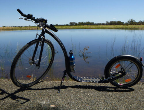
After circumnavigating Lake Catani, we went back to the car park, where our “chariot” awaited.
You May Also Like