A Very Outdoor Month
Late March 2022 was the time of a “wife and me” holiday – the first such holiday after the last of our progeny departed the nest. The destination was Mitta Mitta, a place I had stayed at twice before. Mitta Mitta is nestled in the Mitta Mitta valley, where the Snowy Creek and Mitta Mitta river converge and is a very scenic place, surrounded by mountains and forests on three sides, and a broad valley containing farms on the fourth side.
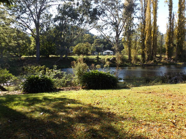
View from our onsite caravan, Mitta Mitta Caravan Park 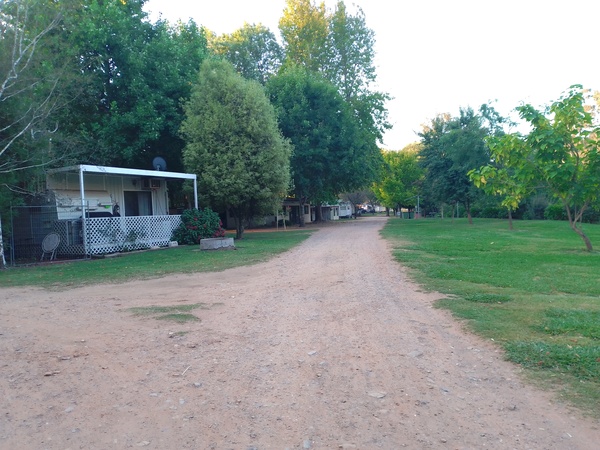
Mitta Mitta Caravan Park 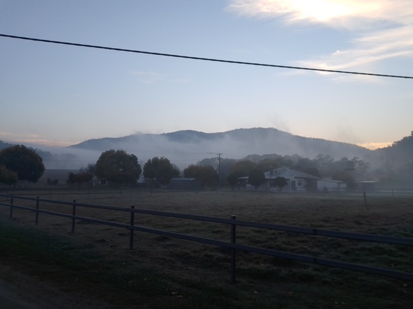
Early morning mist, Mitta Mitta 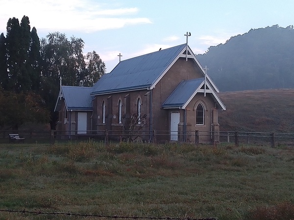
Church near caravan park, Mitta Mitta 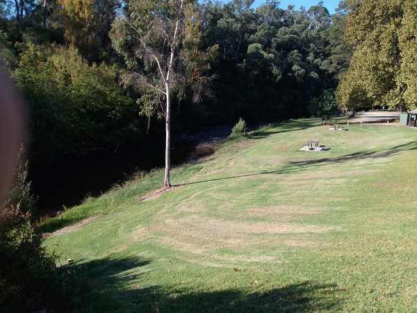
Parkland next to the river near Mitta Mitta hotel and store 
Laurel Hotel, Mitta Mitta
This holiday was specifically for me to try some activities I had not done there during the previous times I stayed at Mitta Mitta.
- Kickbike ride along Omeo Highway towards Glen Wills.
- Hike to Mt Welcome.
- Drive to Mt Benambra, overlooking Dartmouth Dam.
Omeo Highway Kickbike Ride
My plan was to kickbike 40km or maybe more from Mitta Mitta, along the Omeo Highway, to a place close to the summit of the Omeo Highway around the location of Mt Wills. If I managed to complete what I planned I would break two personal records:
- Longest kickbike ride to date (record was previously 60km).
- Highest elevation climbed.
I had a day pack, a raincoat, cycling jacket, 2 spare tubes (one for each size of rim on the kickbike), some tools, 2.75 litres of water, and a quantity of bite sized Mars bars. I also had a mobile phone, but as I didn’t think there would be mobile reception where I was going it was more for taking pictures than making phone calls! Before I left Mitta Mitta, I told Rebecca to wait 6 hours, and if I wasn’t back by then to drive out towards Glen Wills to pick me up.
According to Google Maps, the road was a fairly constant ascent, apart from a small ‘hump’ not far from Mitta Mitta. But after riding the first 20km from Mitta Mitta I realised Google Maps was not that accurate to the detail of the elevation of the ride even if it was to overall elevation tendency. There was a lot more up and down hill in the first 20km than Google Maps showed, which may be because Google Maps averages the gradient.
Along this section of the ride I passed through Granite Flat. It was previously known as Snowy Creek, and between the 1860s and 1890s was a gold mining area, with a population of around 500 people. In 1885, the Mammoth Hydraulic Sluicing Company completed a timber flume and race to carry water from the Snowy Creek to Granite Flat and Yankee Hill. The flume and race was the largest in the Southern Hemisphere, with a span of 230 metres and a height of 35 metres, and a length of 22 kilometres. By 1895 the flume and race was abandoned, and in 1908 it was dismantled for safety reasons as it posed a risk to traffic passing below it. Today in Granite Flat, cattle and orchards are the main industries and without the signage to tell the area’s past it would be hard to guess what happened there.
While riding this section, I was passed by some cyclists. Each one of them said a ‘hello’ as they went passed, and 2 of them slowed to my speed and chatted with me for a while. They asked me where I was planning to go, and I said 40km from Mitta Mitta, at which they encouraged me in my attempt. They were also interested in my kickbike, so we chatted a little about it. Then, as they wanted to increase their speed, they bid me farewell and said they might see me on the way back.
After the first 20km of the ride, the climbing really started, with a fairly steady uphill climb. I knew this section was going to be hard, but as I could then turn around and coast downhill I didn’t think too much about the difficulty. But as there were more up and down in the first 20km of the ride than I had anticipated, I couldn’t push myself too hard as I would need some energy for the ups and downs on the return journey.
After enduring 15km of ascending up into the maintains, I decided I didn’t have too much energy left, and so I turned around to head back to Mitta Mitta. Before I turned around, I did the muscle stretches I usually do at the end of a kickbike ride, then started the 15km descent. Within a few kms, my knees started aching, so I pulled over and stopped. I think they ached because of the sudden lack of movement after the climb, so I did some leg movements to try and ease the pain.
While I was doing that another cyclist with a European accent rolled down and stopped beside me, and we had a chat. He was part of a group of cyclists that had come to Mitta Mitta from Sydney. The two cyclists I mentioned earlier were part of the same group. He asked me about my kickbike too, and was somewhat surprised to learn that I didn’t have a ‘traditional’ bicycle and that I only ride the kickbike. He had parked his car at Lightning Creek camping area specifically so he could ride the steepest uphill section for 20kms or so. Considering he was probably in his late 60s, I was suitably impressed with his effort!
I continued downhill, my knees not being sore anymore, and arrived at Lightning Creek in a fairly short time. As I was riding past I noticed some old machinery on display, and so detoured into the camping area to take a look. As I was looking at the machinery, I noticed a couple of cyclists sitting at a wooden table. One of then waved to me – it was the cyclist with the Eurpoean accent. So I went over and sat with them for a while. One of the other cyclists took a picture of my kickbike. After a few minutes chatting with them, I departed to continue on my journey back to Mitta Mitta.
About 10km further on I came to Granite Flat again, and stopped to have a break. I had been stopping about every 5km for a drink and short rest since leaving Mitta Mitta, but returning back to Granite Flat was sort of ‘milestone’ in the sense that I knew I only had 10km until I was back at Mitta Mitta. While I was having a break, the 2 cyclists I mentioned earlier that slowed down to have a chat approached, and they stopped and had another chat with me. They said they were impressed with my effort even though I didn’t make it to 40km from Mitta Mitta before turning around, and that I would still beat my previous kickbike distance record by 10km. After a bit more of a chat they continued on their way. Not long after that I also left Granite Flat on the last leg of the ride.
I was somewhat surprised by the camraderie between the various cyclists and me, but was very thankful for it as it served as some motivation for me to keep going and helped me feel part of a larger group who were all trying to ride the ascent towards Glen Wills, as well as engendering a feeling of not being alone in the mountains and forests.
In the last 10kms, I spotted a familiar car travelling towards me. It was Rebecca. I then realised that I had been on the ride for more than 6 hours (including breaks and stops). Rebecca asked me if I was going to keep going, and I said I would and that it wouldn’t be more than an hour until I was back at Mitta Mitta. As it turned out I was back in Mitta Mitta in about half an hour.
As I crested the last hill before Mitta Mitta I experienced that sense of relief I often feel when I return to civilisation at the end of a long hike or ride. But I still had a little longer to go as the caravan park at Mitta Mitta was about 800 metres on the other side of Mitta Mitta. Before long, I was back at the caravan park, and after some more stretches, I sat down to a meal of tomato and pesto legume pasta – high in protein and very delicious. The ride was completed!
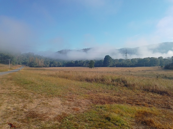
Low fog at Granite Flat 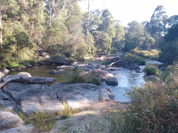
River next to the road near The Walnuts 
Kickbike, near Granite Flat 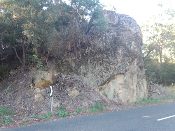
Rocks next to road near The Walnuts 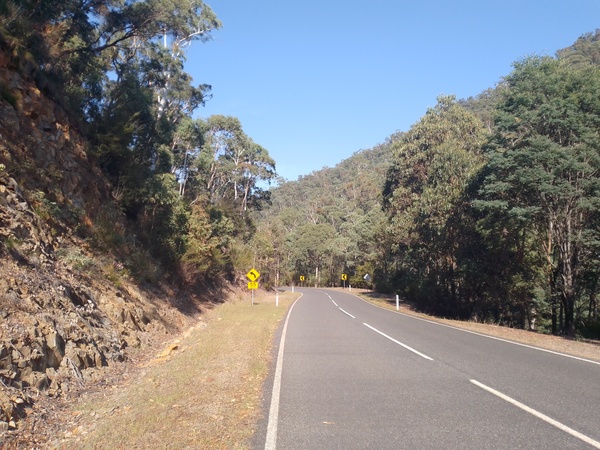
Typical scenery between Granite Flat and Mt Wills 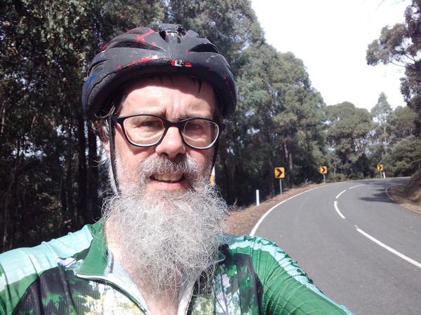
Yours truly climbing towards Mt Wills on Kickbike 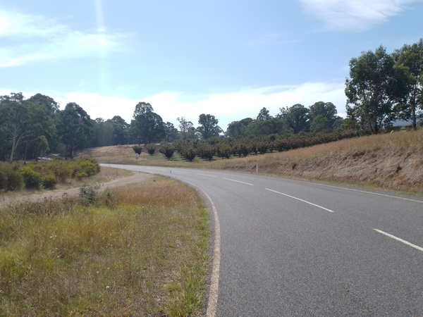
Orchard near The Walnuts, south of Granite Flat
Ride details:
- Length: 70.5km.
- Elevation gain: 1161m.
- Moving Time: 5 hours, 19 minutes.
- Avg Speed: 13.3km.
- Energy Burnt: 3025 calories.
River and Deep Gully Walk with Rebecca
As I wanted to have a day less exercise intense than the previous day’s kickbike ride, we decided that we could do the River and Deep Gully walks at Mitta Mitta. So we drove the car the km or so to the starting place of those walks. I had previously done these 2 walks, but Rebecca hadn’t, so it would be a totally new walk for her.
This was a very pleasant walk, and nice change from the high intensity of of the long kickbike ride.
We passed the Gnome Home and Frog Log, deep in the depths of Deep Gully amongst the ferns and other dwellers of the lower forest canopy. Occasionally we would hear a noise in the bush near the path, and Rebecca was somewhat concerned about that. But I assured her we were quite safe. The plan was that we would do a loop, but as we became somewhat disorientated we ended up going back more or less the way we came. This had the effect of lengthening the walk by about 2kms. By the time we got back to the car, Rebecca had completed her longest walk in the last few years – 6km.
For me the real achievement for this walk was that I completed the Cloncurry – Mt Isa section of the Rundownunder virtual run / walk around Australia. More will be said about that in a later post.
Mt Welcome Hike
The maps and information for the hike indicated the following:
TIME: 5.5hrs
DISTANCE: 8km
GRADE: Hard. Steep inclines. No drinking water available. Good level of fitness required.
TRAIL NOTES: Hike follows mountain ridge offering spectacular views of the valley below when you reach the summit. To make a circuit walk, follow Mt Disappointment track back down to Omeo Highway 3.5km south of the town and return along the road.

This hike was somewhat of an unknown, but was something I had wanted to try for quite a while. The Mt Welcome hike follows the ridgeline of a mountain that looms above Mitta Mitta like a huge pyramid with trees (which I think is Mt Welcome, but am not sure), and the hike itself follows a track that in places is not very well defined. The instructions in the information about the hike said the hike followed the mountain ridge, so I kept that in mind when the track was a bit vague and hard to follow.
The distance of the hike seemed somewhat ambiguous in the information available on line and on information signage in Mitta Mitta township. It indicated the hike was 8km and that the time to complete the hike was about 5 1/2 hours, with time estimated based on an average hiking speed of between 1 and 3kph, but there was no mention of whether that was a return distance, or just one way. Some of the other walks indicated the distance was a return distance but the information for this hike didn’t. So just to be safe I packed a quantity of bite sized Mars bars, 3.5 litres of water, a raincoat, and jacket, assuming the 8km in the information was one way, making the whole hike 16km. As it turned out, the 8km distance was return from the point where the trail crossed the Upper Pioneer Trail, which is about a km or so from the Mitta Mitta township.

Mt Welcome Track – not very well defined 
Mt Welcome Track – there is a track in there somewhere 
Yours truly on Mt Welcome Track
After the track crossed the Upper Pioneer Trail, the track got very steep. On the steep sections I was averaging about 2.5kph – at the upper end of the estimate in the information. When the trail was more level I was able to increase my speed considerably to the point where I averaged over 4kph speed for the whole hike.
There wasn’t a lot of wildlife seen on most of the hike, but there was evidence of wildlife. There were scratchings in the ground, maybe from echidnas or rabbits. There were also a lot of spiders webs across the track at higher elevations, which I mostly didn’t see in time but certainly felt them on my legs as I walked through them. I heard a number of lyrebirds doing their calls from varying distances from the track, but I couldn’t get close enough to them to actually see them. As I walked a long on some sections of the track butterflies would ascend in front of me and flitter away, some of them landing nearby. But when they did land nearby they were very hard to see due to the coloration of their wings when they were folded.
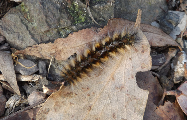
Mt Welcome Track – catepillar 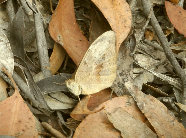
Mt Welcome Track – Butterfly, well camouflaged
There were also quite a few places along the track where there was a view into the valleys or up to the mountain ranges.
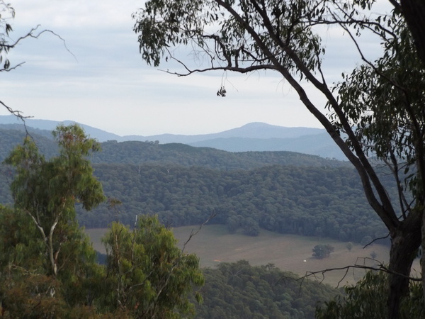
View from Mt Welcome Track 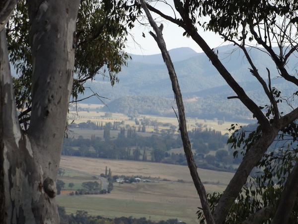
View from Mt Welcome Track 
View from Mt Welcome Track 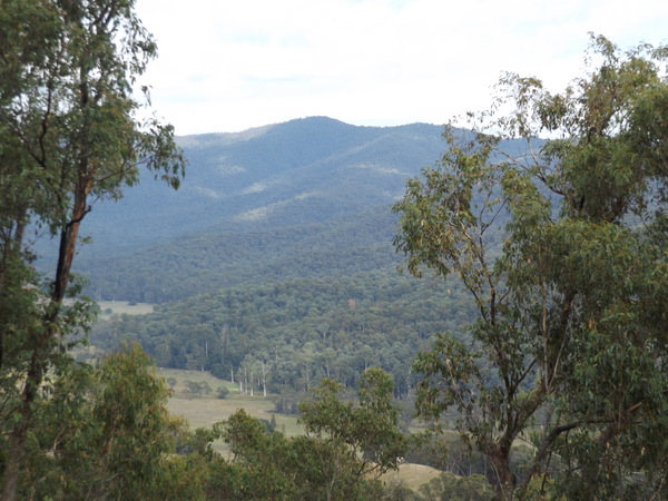
View from Mt Welcome Track 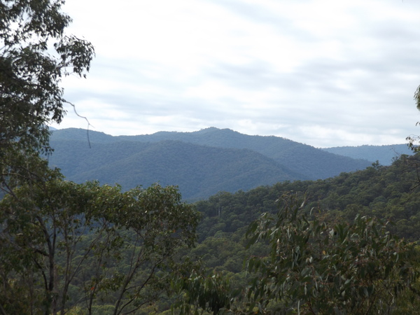
View from Mt Welcome Track 
View from start of Mt Welcome Track 
View from near start of Mt Welcome Track
About an hour and 45 minutes after I had left the caravan park I reached the Mt Disappointment Track, which signalled that at that point I was either on Mt Welcome or had already passed over it. I walked along Mt Disappointment Track for a short way until it started going downhill which seemed to me to indicate I was actually on Mt Welcome, although I’m not exactly sure that I was as there was no signage to indicate it.

Flora on Mt Welcome Track 
Flora on Mt Welcome Track 
Flora on Mt Welcome Track 
Flora on Mt Welcome Track
After that I turned around and started the return hike back to Mitta Mitta. I made good time on some sections of the return journey, but the steeper sections were somewhat hazardous due to slippery surfaces. But I managed to negotiate those sections ok, only slipping once. I think my new shoes I use for walking probably helped stop me from slipping more as they have good grip on their soles.
As I was walking into the caravan park, who should I see walking towards me but my Beloved. She had decided that she wanted to walk to the general store to buy some lunch. She was a bit surprised to see me, as she assumed that the walk was going to be 16km and so wasn’t expecting me back for a few hours so I explained that the 8km indicated in the information was a return distance from the Upper Pioneer Trail.
Stats for hike:
- Distance: 12.45km.
- Elevation Gain: 754m.
- Moving Time: 2 hours 56 mins.
- Energy Burnt: 1537 calories.
- Avg Speed: 4.2kph.
- 161% of daily activity goal reached as a result of the hike.
Drive to Mt Benambra
Sometimes as humans we decide to do something that is a bit more than we can accomplish. The drive to Mt Benambra was one of those things for us. It seemed like a good idea at the time; a leisurely drive on a country road, with the reward that the views would be great from the top. What we didn’t know is that the road to get to Mt Benambra was more like a 4×4 track, steep and rocky in places, which our little low-to-the-ground sedan really wasn’t designed for. Add to that the fact that because I was not driving due to using a temporary pair of glasses while awaiting new glasses, Rebecca had been doing all the driving while we were on holidays which meant she would have to drive along the Mt Benambra road.

The road turned off the Dartmouth Dam road between the town of Dartmouth and the dam, and started off ok. A gravel road. But before long it got steep. And rocky. And rough. After about 5km of driving, and after checking to see how much further it was to Mt Benambra (about 12km more according to Google Maps), Rebecca had had enough and we decided to turn around. I asked Rebecca whether she wanted me to drive, and she said as long as I could see the road ok. I assured her that at low speed I could drive ok with the temporary glasses. So we found a place to turn the car around, and slowly and gingerly made our way back down the road we had driven up.
Lightning Creek and Snowy Creek Campgrounds and areas
On my 70km kickbike ride towards Mt Wills, I stopped briefly at Lightning Creek, and became aware of the Snowy Creek / Granite Flat area. So we decided to explore those two places a little more.
We left Mitta Mitta fairly early in the car that day, and stopped at Granite Flat cemetery. Perched on the side of a hill, the Granite Flat cemetery has very few well defined grave sites although it is possible there are various graves not marked. As we walked around the cemetery looking at the plots that were discernable, the thing that struck me was that the graves were not aligned the same way. Some seemed to be facing east, but there were others at weird angles. Most cemeteries, especially older ones, tend to have the graves all facing east. There have been very few cemeteries I’ve visited where graves were obviously at odd angles, Granite Flat and the cemetery at Hay, NSW (which had one grave at an odd angle and the rest facing east) being about the only two I’ve come across in my various travels.
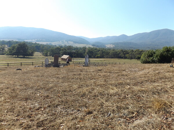
Granite Flat Cemetery 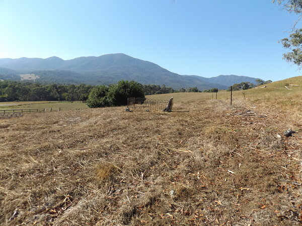
Granite Flat Cemetery 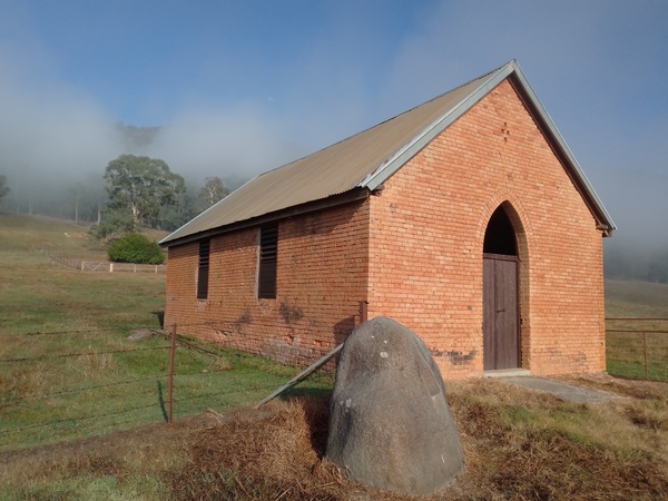
Church at Granite Flat. Cemetery is inside the fence in the background.
We then went to Snowy Creek Campground, which is a few kms off the Omeo Highway. It is not a very large campground, but is nestled in the valley on both sides of the creek after which it is named. The obvious feature there was the large boulders in the creek.

Snowy Creek Camping Area 
Snowy Creek Camping Area
After a bit of an explore of the Snowy Creek Campground area, and being attacked by a myriad of mosquitos, we continued on to Lightning Creek. At Lightning Creek, there is a large camping and day visitor area, as well as some old machinery. We went for a bit of a walk along the Dunstans Log Road, which according to Google Maps connects up to the Omeo Highway further up in the mountains, but the Lightning Creek crosses it about a km from the camping area and there is no bridge, so rather than get our feet wet we turned around and headed back towards the camping area.
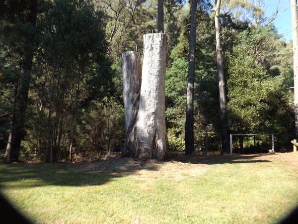
A rather high stump, Lightning Creek Day Visitor Area 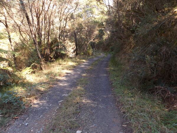
Dunstans Log Road 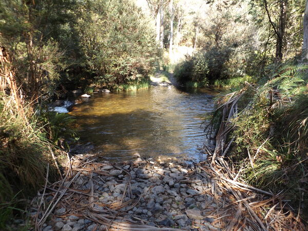
Lightning Creek crossing over Dunstans Log Road 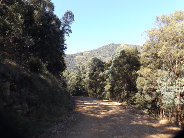
Rootsey Spur Track 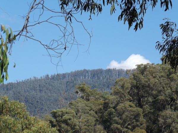
View from Rootsey Spur Track 
Artistry of nature 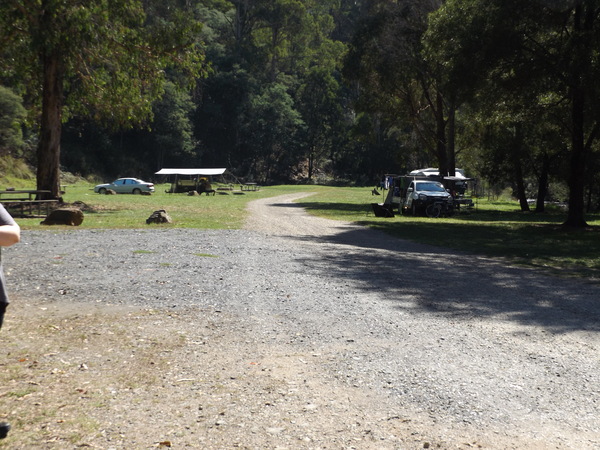
Lightning Creek Camping Area 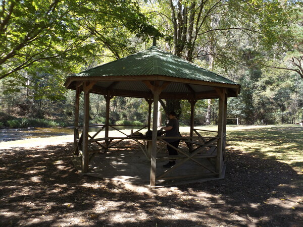
Rotunda at Lightning Creek Day Visitor Area
At the edge of the camping area, there is a track called Rootsey Spur Track which heads up the mountain and is quite steep in places. We started walking up that track, but after a while Rebecca was getting pretty pooped, so we turned around and walked back to where we had parked our car. After soaking up the valley atmosphere while Rebecca had some lunch, we decided to head back to Mitta Mitta.

Old machinery near start of Rootsey Spur Track, Lightning Creek Camping Area 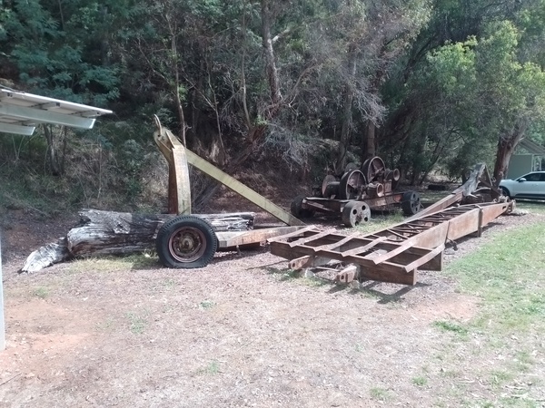
Old logging machinery, Lightning Creek Camping Area 
Old logging machinery, Lightning Creek Camping Area 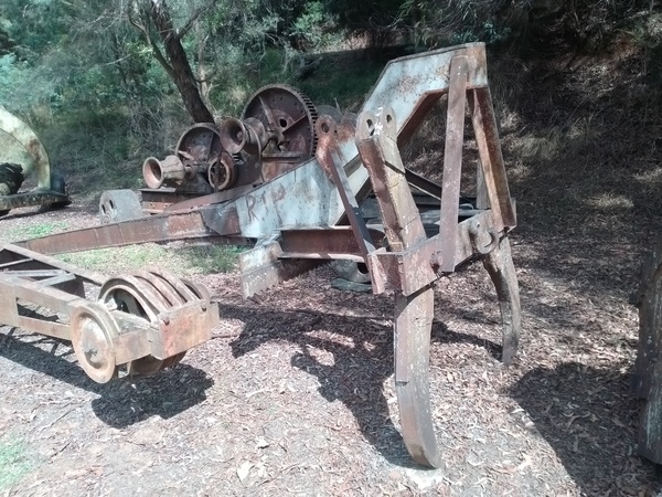
Old logging machinery, Lightning Creek Camping Area
Mt Wills Hike
On the way home, after spending nearly a week at Mitta Mitta, I wanted to climb Mt Wills which is about 45km south of Mitta Mitta. Mt Wills is 1,755 m or 5,758 ft high, and is crossed by the Australian Alpine Walking Track. Victoria’s highest mountain, Mt Bogong, is 1986m in elevation so Mt Wills is a little over 200 metres lower in elevation and so is one of Victoria’s highest mountains.
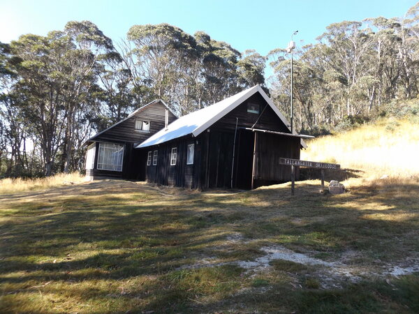
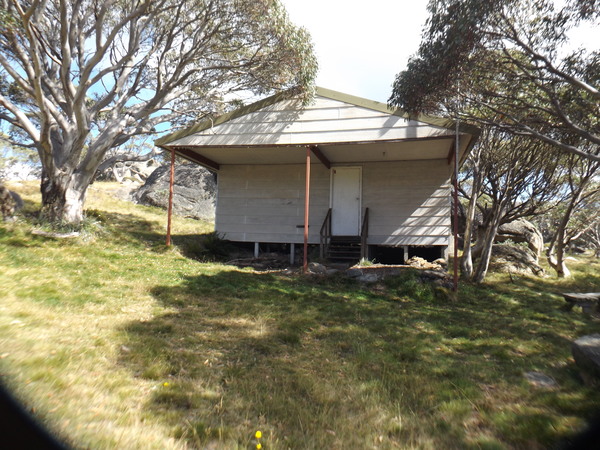
Tallangatta District Ski Club Hut 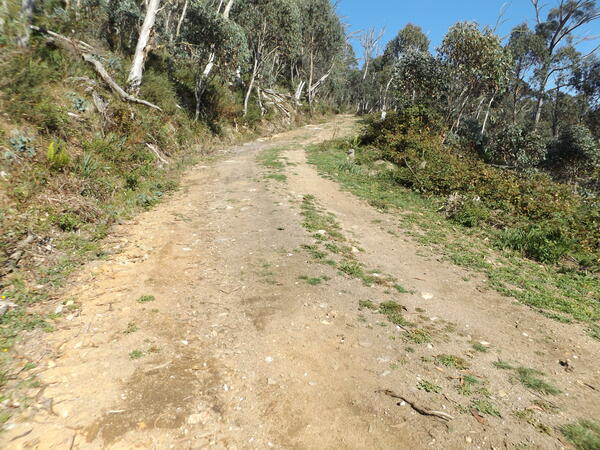
Mt Wills Track – yes, it was as steep as it looks! 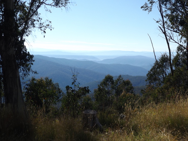
View from Tallangatta District Ski Club Hut, near Mt Wills
We started the hike at the car park near the Tallangatta District Ski Club Hut. As with any hike to the top of a mountain, it involved a lot of climbing – more than 300 metres for this one, even though it was only about 3km to the summit. That’s an average grade of 1:10. Scenery was mostly snow gums, and alpine meadows at higher altitudes with more large rocks the closer we got to the summit. There were some great views across to other high mountains in the Great Dividing Range and the view from the top was spectacular.

View from Mt Wills Track 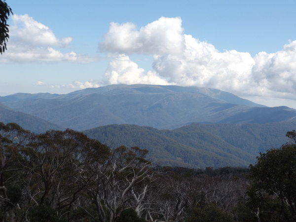
View from Mt Wills Track 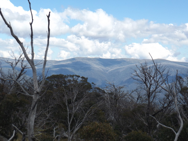
View from Mt Wills Track 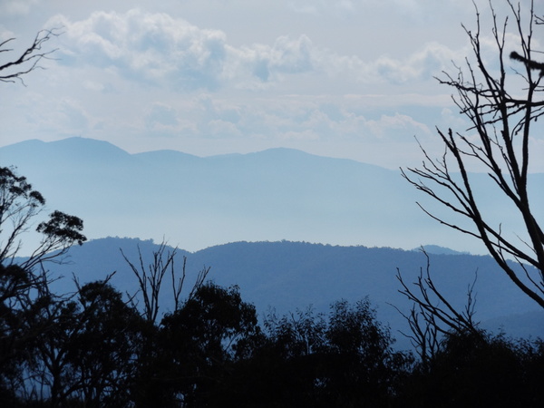
View from Mt Wills Track
Rebecca developed sore buttock muscles during the hike. Her response: ‘how dare you take me on a hike that makes it sore for me to sit down afterwards”. We explored the summit area once we got to there, including the hut and ‘hilton-esque’ (not) toilet. After a bit of a break at the summit we walked back to the car, 3km of predominantly downhill.
Mt Wills Hut, Mt Wills Summit 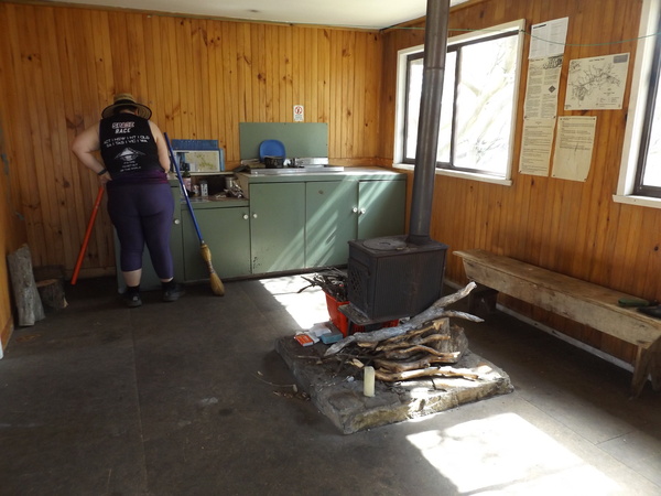
Mt Wills Hut interior 
Mt Wills Hut Toilet 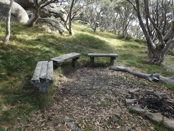
Seats, Mt Wills Hut 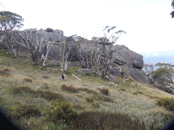
Rock formation, Mt Wills Summit 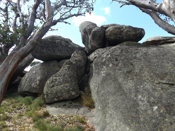
Rock formation, Mt Wills Summit 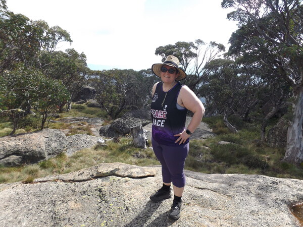
Rebecca at Mt Wills Summit 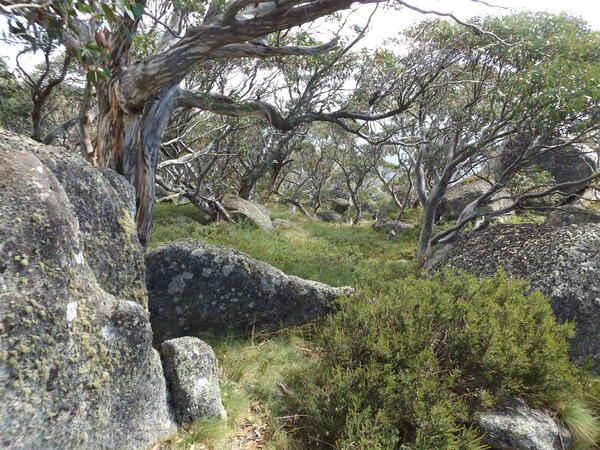
Mt Wills Summit 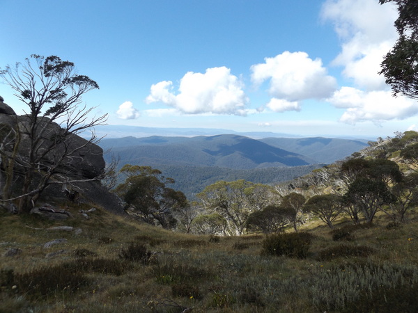
View from Mt Wills Summit
On way down, I paused my Polar smart watch at one point to wait for Bec, but then forgot to unpause so for the walk back down I had to use Bec’s Strava data.
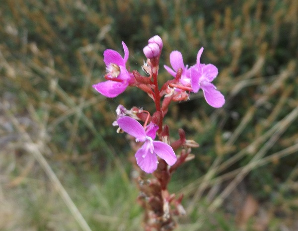
Flower, Mt Wills Track 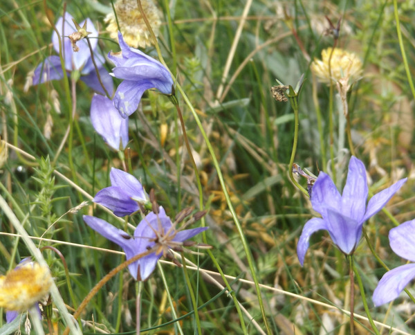
Flower, Mt Wills Track 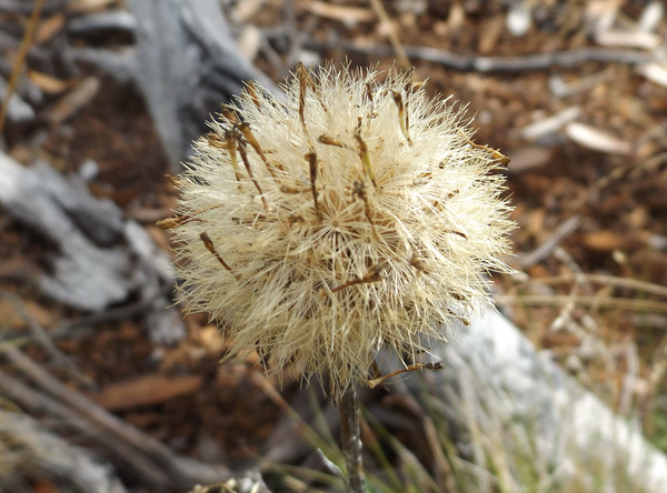
Flower, Mt Wills Track
Stats for hike:
- Length: 6.18km.
- Time taken: 1 hour 38 minutes.
- Elevation gain: 304 metres.
Activity on Strava (Ascent) | Activity on Strava (Descent)
After finishing the hike, we drove on to Harrietville, near the head of the Ovens valley, with a plan to stay there overnight.
Harrietville – Eurobin Kickbike Ride
After a reasonable sleep, and a comfy motel, the plan today was to kickbike from Harrietville to Eurobin. The reason for doing this was mainly to complete the Wangaratta – Bright and Everton – Beechworth sections of the Murray to Mountains Rail Trail. I had completed the other sections over the last year, and this ride would allow me to complete the rail trail. There is a section of rail trail between Beechworth and Yackandandah, but as far as I know at time of writing this blog post it isn’t yet complete. That will be a ride for another day.
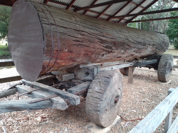
Log cart, Harrietville 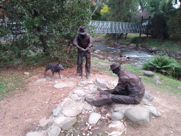
Sculpture of men mining, Harrietville 
Old water wheel, Harrietville
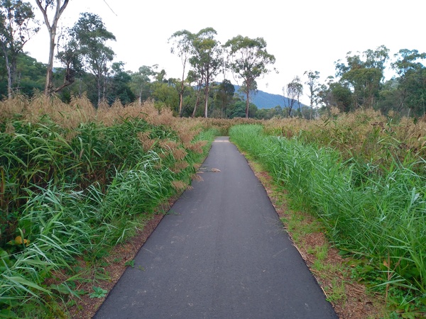
For this ride, the plan was that Rebecca would drive to Eurobin, where I would end the ride and then we would drive home. I left Harrietville early, so I would beat the hotter part of the day. The Harrietville – Bright Shared Trail which I rode on until the town of Bright more or less follows the Ovens River downstream. This meant I made good time on that 20+km section. Having the sound of the river not far away was rather soothing, and made the ride more enjoyable, and being away from the Ovens Valley Highway means very little traffic noise. Just me, the Kickbike and river. Or so it seemed.
Bright – Harrietville Shared Trail 
Looking back towards the mountains above Harrietville 
Kickbike at Bright Goods Shed 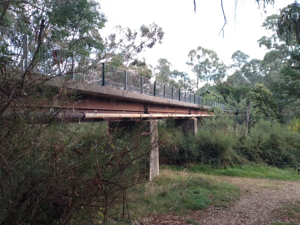
Railway bridge over the Ovens River, which now carries the railtrail, between Bright and Porepunkah 
Mt Buffalo from railtrail near Eurobin
After Bright, the ride was on the Murray to Mountains Rail Trail. I have ridden this trail before on bikes other than a Kickbike, so the trail was fairly familiar to me. But even still, there is always something different to see, or scenery that has changed a little since I last rode it a number of years ago.
Stats for ride:
- Length: 42.5km.
- Time taken: 2 hours 23 minutes.
- Avg speed: 17.8kph.
Stringybark Creek Camp & Area
A few weekends after our stay at Mitta Mitta there was a regional church camp at a place called Stringybark Creek, about 20km south of the town of Tatong, Victoria. Stringybark Creek is about 1.5 hours from where we live. We left home fairly early in the afternoon, which allowed plenty of time to get to the camp site and set up the tent before it got dark.

There is something about a forest of tall eucalyptus trees that soothes the soul. Maybe it’s the seeming permanence and strength of the trees (although they aren’t really that permanent), or the abundance of greenery in the various layers underneath the forest canopy, or maybe just the serenity of being away from hustle bustle of everyday life.
While there I did some walking along the road towards Tolmie, and around the Stringybark Creek Historical Area.
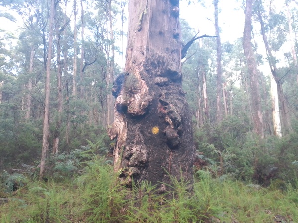
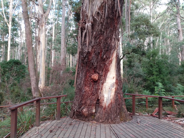
A bumpy tree, Springybark Creek area 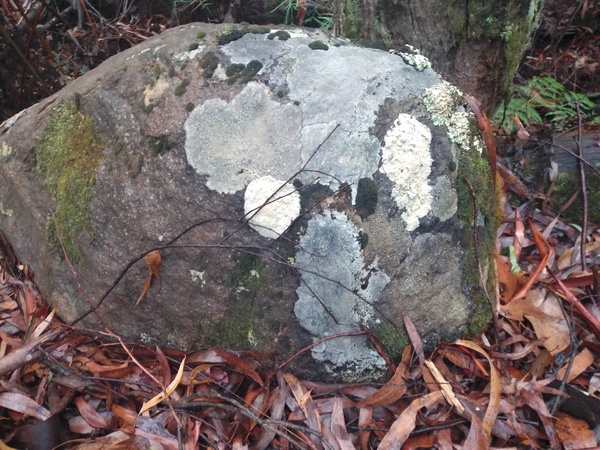
Colorful rock, Springybark Creek area 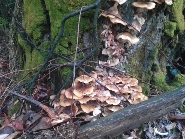
A colony of fungi, Springybark Creek area
The Stringybark Creek Historical Area has a few places of interest: 1) historic sites near the campground; 2) a walk around the area where the Kelly bushranging gang killed a number of police back in the 1870s; 3) a single grave in the forest. I decided to walk to the different places, because ‘why not’. The historic sites near Stringybark Creek camp area includes the sites of some sawmills, a gold mining area, and an old homestead site.

The Kelly bushranging gang was infamous for the crimes it’s members commited. Anybody who knows Victoria’s history reasonably well will know at least some of the exploits of the Kelly gang, such as the attempt to derail a train of police near Glenrowan, and the hold up at the Glenrowan Hotel. Because of it’s exploits, the Kelly gang is sometimes idolised, sometimes loathed. Ned Kelly, the leader of the gang, apparently knew how to appeal to people’s sense of right and wrong and get them on his side, at least in principle. When the gang held up the town of Jerilderie in NSW in 1879, he wrote a long letter explaining his actions which some have considered to be an early call for an Australian republic ( transcription of letter ) free of ‘English laws’.
Some time before the Jerilderie holdup, on 26th October 1878, the Kelly gang killed 3 policemen who were hunting for them due to an outstanding warrant for their arrest in regards to the previous attempted murder of a policeman. At the time the Kelly gang had been living in the area around Stringybark Creek, having set up camp there after moving away from their homes down in the valley. The Stringybark Creek Historical Area include signs with information on the murder of the police, as well as the other historical features in the area.
To commemorate the deaths of the three policemen killed by the gang, a large memorial was erected in the main street of the town of Mansfield, some distance away. There is also a “Kelly tree” with a plaque embedded it in the Stringybark Creek Historical Area, apparently not the original “Kelly tree” but in the vicinity of it.
The current Kelly Tree, Springybark Creek area 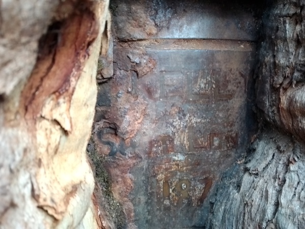
Plaque in the Kelly Tree, Springybark Creek area
Not far away from the location of the Kelly gang’s murder of the police at Stringybark Creek there is a historic grave. The grave is of Emma Sophia Heller, who died in 1889 at the age of 42. After a very varied life which started in England, she had married Frederick Heller, who was originally from Germany. After living in Wangaratta for a time, they moved to the Toombullups, the region which includes Stringybark Creek, and lived in a settlement called Round Camp. They existed by milking cows, gold prospecting, growing an orchard (after they cleared the land) and crops of oats and maize.

Emma Heller had a heart condition, and during a particularly severe winter in 1889 she passed away. Due to the conditions which included heavy snowfall, the family was given permission to bury her near their homestead. Today, the homestead, orchards, and crops are gone, the gold mining area and homesteads are no more, replaced with forest. But the grave is still there, a lonely reminder of the pioneers who once lived in the area.
After about a month of various outdoorsey activities, including some activities I had never done before, and places I had never been before, it was time for a return to that place we call ‘home’.
This blog post is dedicated to my dad, Donald Stanford, who passed away around 3am on 26th March 2022 at the age of 86. It is mostly due to his influence in my formative years that I gained a love of the outdoors, and particularly the mountains and forests of the Australia’s Great Dividing Range. I spent many hours walking, hiking and camping with dad, and although there were accomplished cyclists on mum’s side of the family, it was dad that first introduced me to the concept of long bike rides, the first 50km bike ride I ever did being at the age of about 11 years old being with him and the Warburton Pathfinders Club. For a more comprehensive life sketch, see Dad’s life sketch blog post.
You May Also Like
2 Comments
Mum
Hi James, I’ve had a lovely trip around your Blog from my CP. The ride with Warburton Pathfinders – was that the one Mal and I came on too? Mal rode a little red bike if I remember correctly. I can’t remember if Wendy came too.
jimslogolife
Hi Mum.
The ride was between Pakenham and a bit south of Longwarry, and then back to Pakenham. I think I remember Mal riding part of it but don’t remember his bike, but don’t remember Wendy riding it at all.
I remember that where we stopped for lunch was a shop, which seemed to be in the middle of nowhere, and I think members from Longwarry church helped in providing lunch.
Love, James