Apollo Bay Holiday
Between 5th and 16th September Rebecca had her study break, and I had annual leave booked. In the weeks, even months, leading up to those dates we didn’t know where we would go for our twice yearly holiday, but Rebecca wanted to go somewhere near the sea. Eventually she decided on Apollo Bay, in the south west of Victoria nestled between the sea and the Otway ranges.
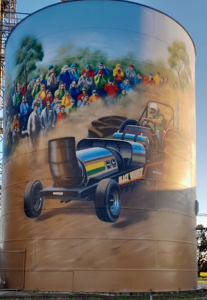
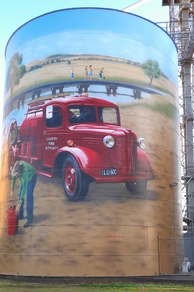
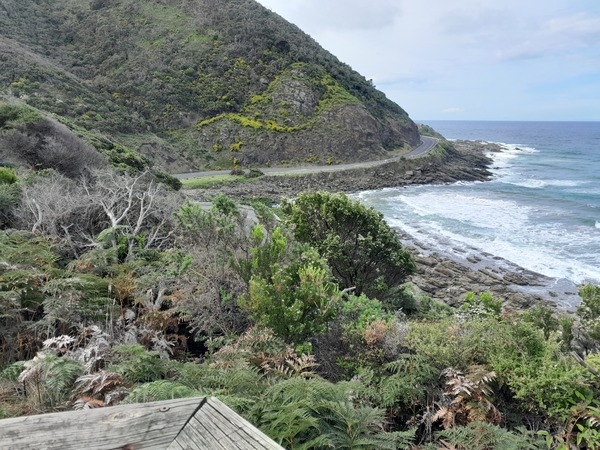
The way we got there is worth noting. We could have gone the most direct route. But instead we chose a route that minimised highways and freeways, and instead travelled on more minor roads. We went from where we live to Kyabram (where we stayed over Sabbath with our daughter Zoe), then travelled through Rushworth, Colbinabin, Heathcote, Redesdale, Kyneton, Trentham, Ballan, Birregurra, Forrest, to finally arrive at Apollo Bay. The total time to travel (that is, not including the various places we stopped) that way was about the same as if we travelled predominantly via highways and freeways, but was so much more scenic and interesting.


Apollo Bay
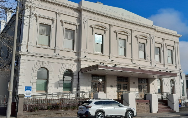
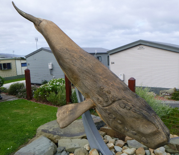
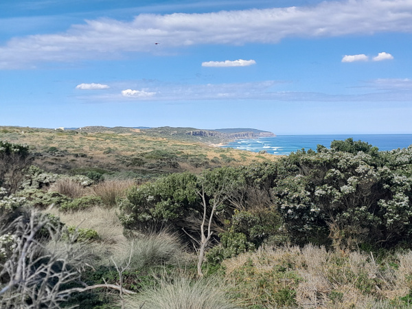
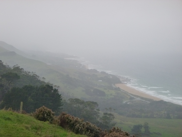
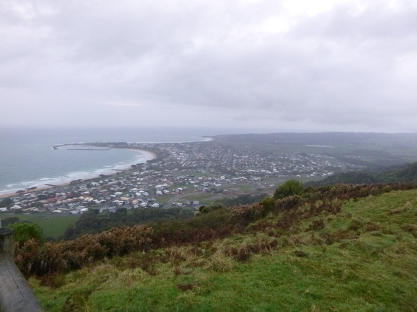
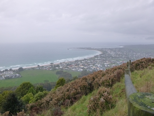
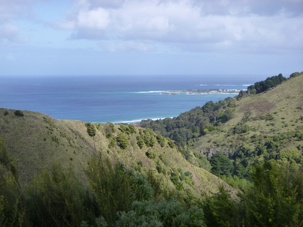
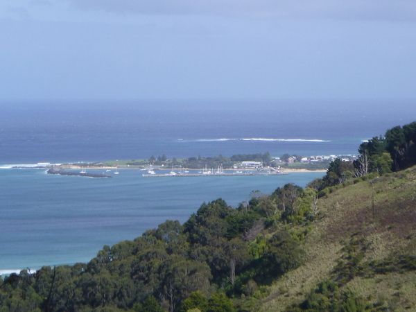
Apollo Bay is a somewhat remote coastal town located on the eastern side of Cape Otway, along the edge of the Barham River and the Great Ocean Road, in south western Victoria, Australia. From Winter to Spring southern right wales come to the area to breed, give birth to their young, and raise them in the warmer waters of southern Australia while on their migrations. Sometimes humpback whales can also be seen off the coast.


By the early 19th century, the area was visited by sealers and whalers from Sydney. One local Indigenous name for the area, of uncertain language origin, is ‘Krambruk’. In the 1840s the Henty brothers established a whaling station at Point Bunbury on the western end of the bay. The bay was named by a Captain Loutit in 1845 when he sheltered his vessel, the Apollo, there during a storm. The first European settlers were timber cutters in the 1850s who established sawmills. The bay provided a relatively sheltered anchorage, but the lack of a suitable pier meant logs were floated out to sea to be loaded on to ships.
A township on Apollo Bay was surveyed in 1853 and named Middleton. In the 1860s, farming land was made available and in the mid 1870s, the first blocks in the township were offered for sale. Middleton post office opened on 1 May 1873 and a school was opened in 1880. In 1881, the town and post office was renamed Krambruk but was changed to Apollo Bay in 1898. During this era almost the only access to the area was by sea, but a coach service from Birregurra to Apollo Bay was inaugurated in 1889. The pier at Point Bunbury was swept away in a storm, as was a second pier at the same site so the “Long Pier” was built at a more sheltered site in 1892. The original town plan indicated that Pascoe Street would be the main thoroughfare, but the erection of several buildings on Collingwood Street meant it became Apollo Bay’s commercial centre instead. With the upgrade of the road to the town in 1927, and then the completion of the Great Ocean Road in 1932, the area became a tourist destination and an important fishing port. On 10 July 1932 the coastal steamer Casino sank while attempting to berth at the town jetty. Ten lives were lost. Many earlier shipwrecks had occurred along the Cape Otway coastline. In 1936 a submarine telegraph and telephone cable from Apollo Bay to Stanley in Tasmania provided the first telephone connection to Tasmania from the mainland. The Apollo Bay Telegraph station closed in 1963 and is now a museum.

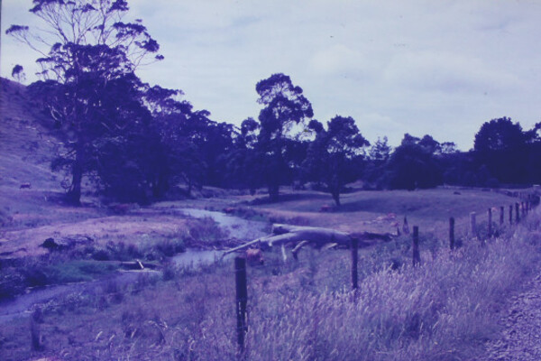
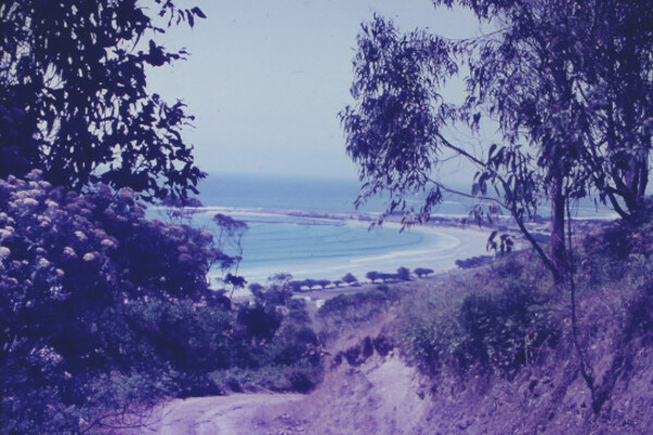
Before we went there on holidays I wasn’t aware that mum and dad had holidayed there 50+ years ago, but while cataloging dad’s slides during the evenings there I noticed some featuring Apollo Bay, which I will share later in this post.

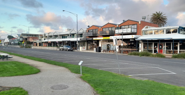
Today the town is a popular tourist destination, although it is quieter than other nearby places such as Lorne.
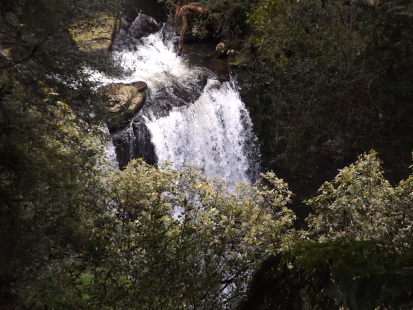
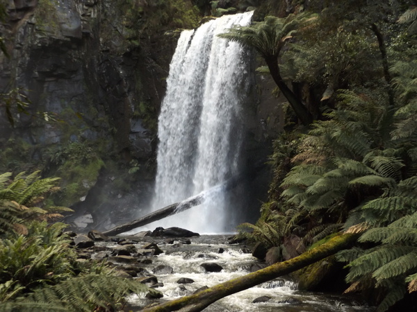
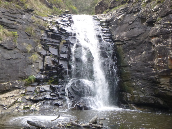
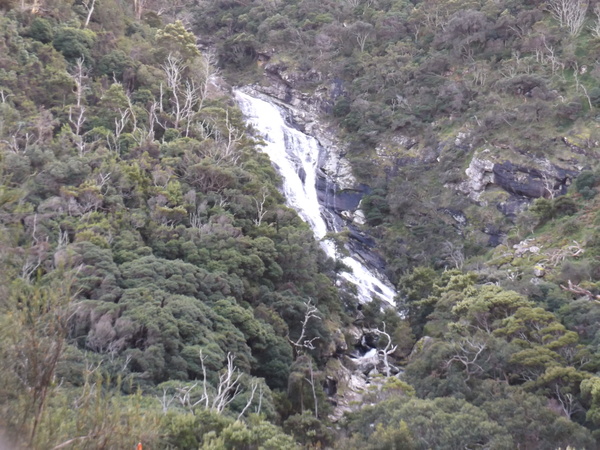
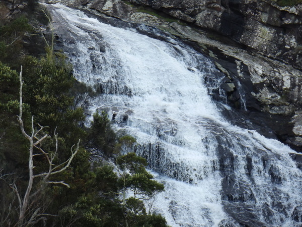
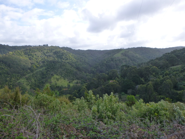
Waterfalls, waterfalls, and more waterfalls
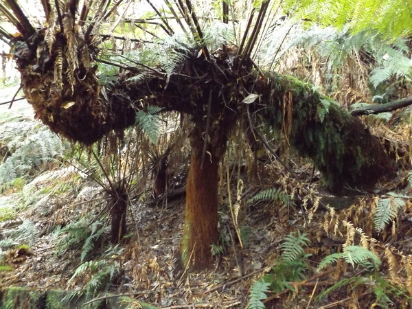
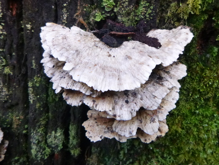
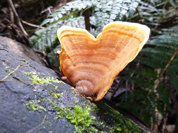
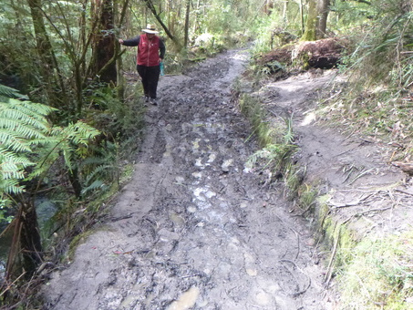
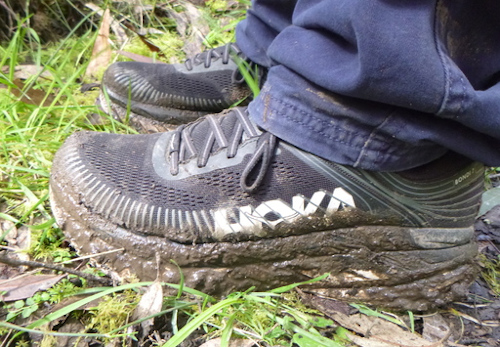
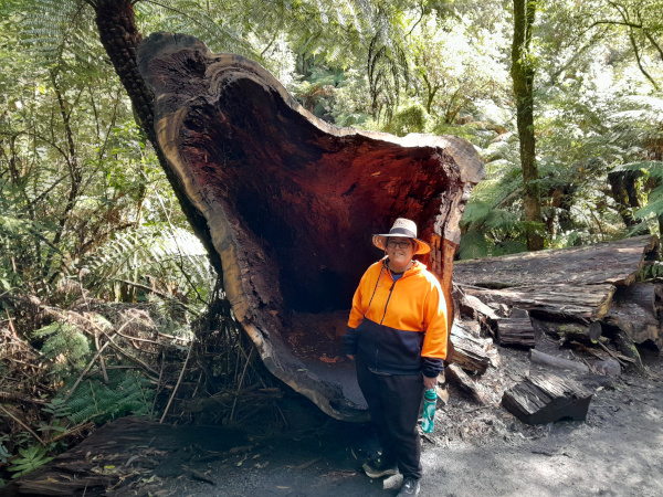
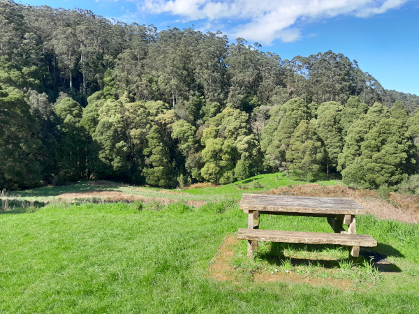
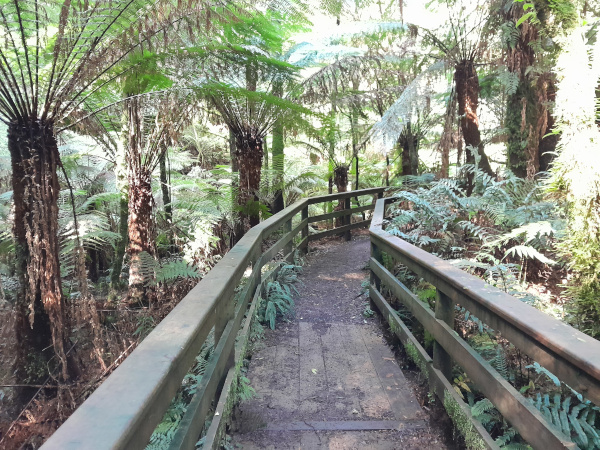
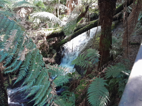
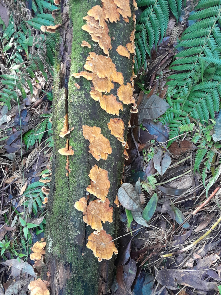
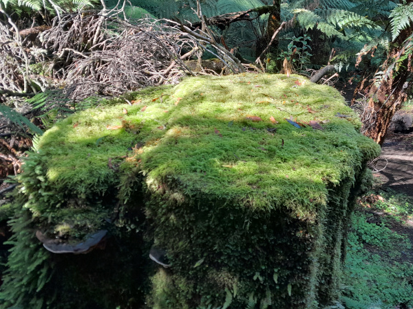
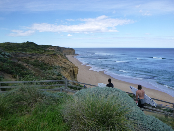
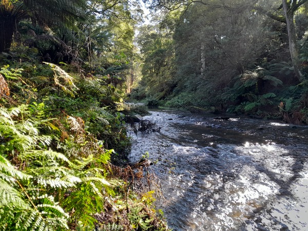
If there is one natural feature that dominated our holiday, it was waterfalls! They seemed to be everywhere. Access to the various waterfalls required some steep climbs, slip sliding through muddy sections, along walking tracks ranging from a few hundred meters to 3 or 4 kms. We visited waterfalls near Beech Forest, Lorne, and along the Great Ocean Road. The natural beauty of the various waterfalls is obvious, but there were also other features of the walks to he various falls, notably some very muddy and / or very steep tracks to access them. The Beech Forest area is known for having the highest rainfall in the state of Victoria, and as we visited the various waterfalls at the end of winter, there was plenty of water cascading over the falls to put on a pretty awesome display for those intrepid enough to walk the tracks to get to them.

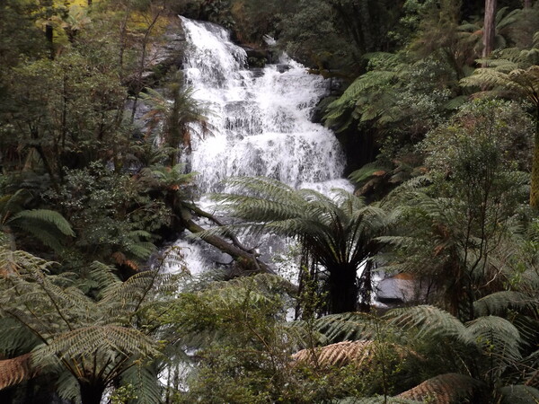

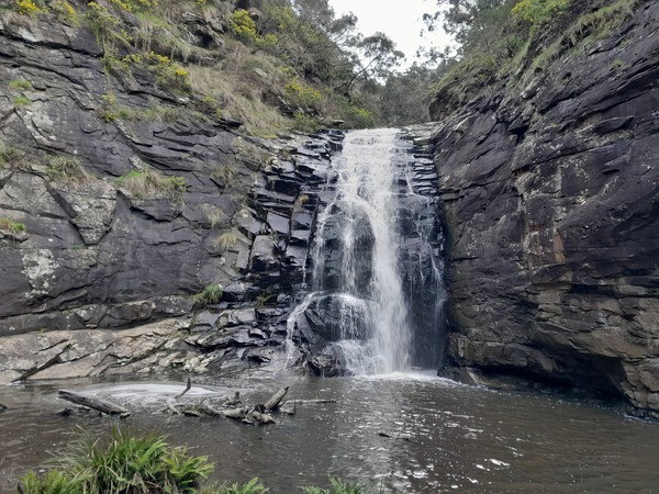
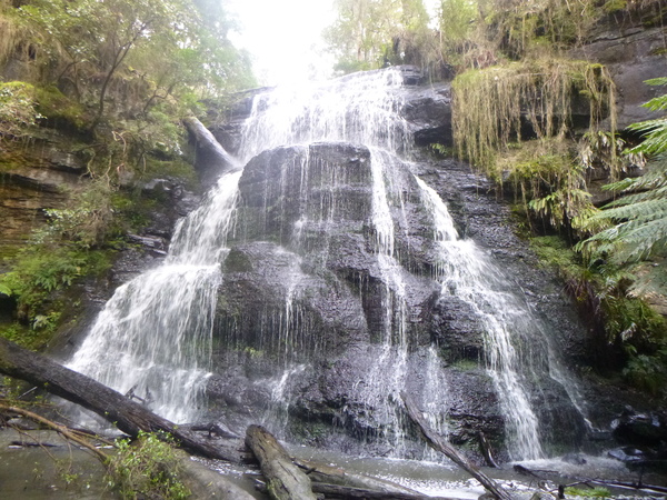
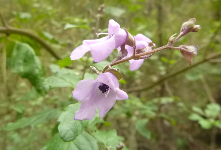
As would be expected, the walks to the various falls had more natural beauty than just the falls themselves.
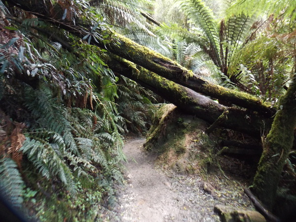


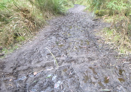
The walk to Henderson Falls, near Lorne, was particularly muddy, and often involved finding our way through the bush adjacent to the track or trying to navigate the least muddy and slippery section of a mud patch. Even then, our shoes got very muddy!
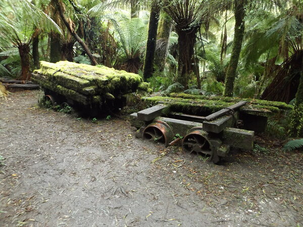
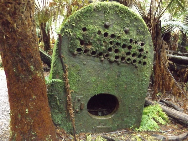
Apart from the open farmland which would once have been forest, sometimes the result of logging in earlier days, there was evidence of logging or other human activity (apart from the tracks and walkways) sprinkled along some of the waterfall walks we did. Some of them had relics of a bygone era, some others walks (some of which we didn’t walk) are on old timber tramway formations.


The Great Ocean Road
Apart from the waterfalls we visited along the Great Ocean Road, there were other places of interest that we visited along that road.
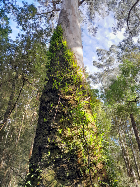
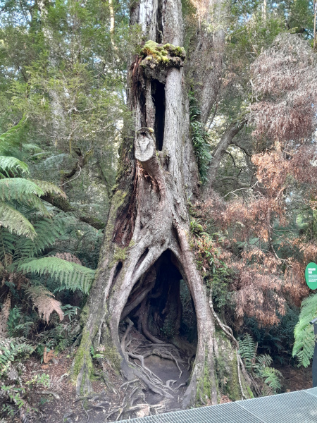
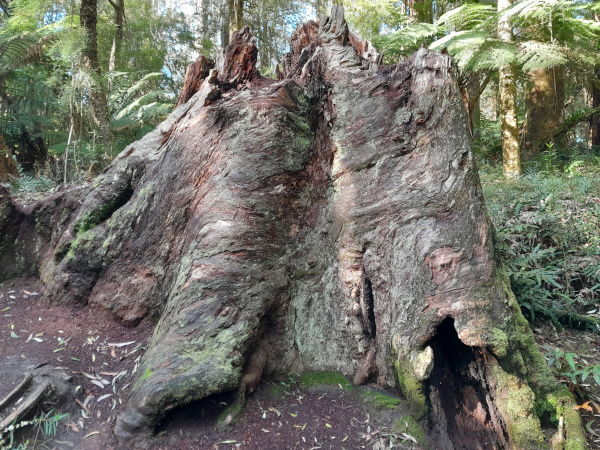
Maits Rest is the location of a short (800m) nature walk. It is named after Maitland Bryant who was the area’s first State Forest Inspector, appointed around the time of the First World War. He used to rest his horse near the location of the reserve on his regular patrol between Apollo Bay and Hordenvale. The Maits Rest reserve has the some world’s largest flowering plants, the Mountain Ash tree (Eucalyptus regnans), Myrtle Beech trees (at least one example being over 200 years old) and possibly the Otway Black Snail, a meat eating snail endemic to the Otways.
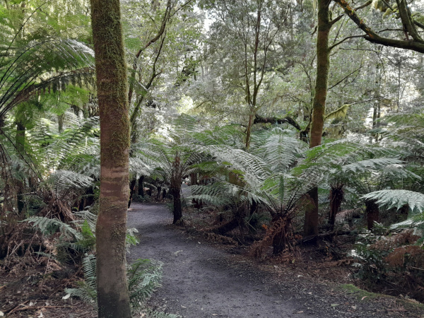
Melba Gully Picnic Area and Anne’s Cascades is a reserve in the Great Otway National Park, in Crowes, a locale a short distance west of Lavers Hill on the Great Ocean Road. By 1916, two sawmills had been established in Melba Gully. Timber tramways were built to service the mills, and move timber to the narrow gauge Crowes railway station, a few kms away. By 1930, blackwood reserves had been depleted and so logging in Melba Gully stopped. In 1921 (or maybe early 1930s depending on what information sign you read), Mrs Jessie Fry established and opened tea rooms which she named after the famous singer Dame Nellie Melba (a distant relative of my wife, according to her family) in what is now the Melba Gully Picnic Area. In 1927 Jessie Fry purchased the property and the tramline became a popular walk way from friends and relative.

In the 1930s and 1940s the tea rooms were a popular stopover for bus tourists, but in 1948 a bus length limit was imposed on Otways roads which caused the tea rooms business to come to an end. When the tea rooms closed much of the land was cleared for grazing. The property later came into the hands of the Marsden family, who offered it to the Victorian Conservation Trust in 1975. Today it is a very pleasant reserve with a pleasant loop walk on Madsens Track to Anne’s Cascades, albeit somewhat damp in wet weather (much like other parts of the Otways).
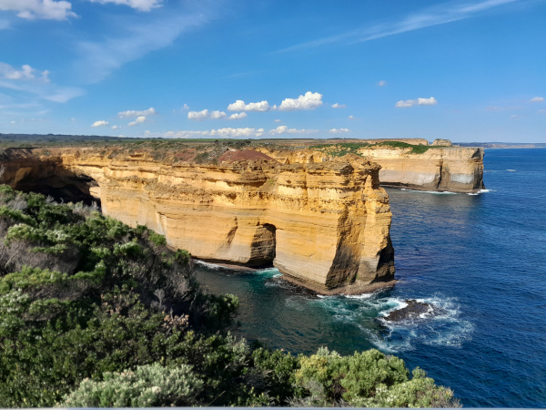
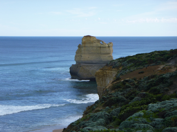
The Twelve Apostles are a series of limestone rock stacks, jutting out of the ocean in the Port Campbell National Park, near the township of Princetown, further west along the Great Ocean Road towards Port Campbell. The view from the main promontory near what is called the Twelve Apostles never included twelve stacks, the formation’s name official designated as the Twelve Apostles, even though it has only ever been known to have eight stacks. The stacks were originally known as the Pinnacles, and the Sow and Pigs (or Sow and Piglets, with Muttonbird Island being the Sow and the smaller rock stacks being the Piglets), as well as the Twelve Apostles. Additional stacks are located further to the west within the national park although they are not considered to be part of the Apostles group.
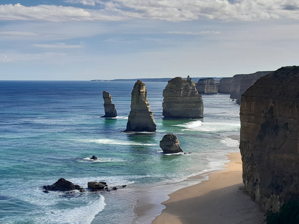

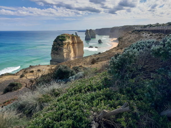
The harsh and extreme weather conditions experienced in the Southern Ocean gradually erode the soft limestone of the shore to form caves in the cliffs, which then become arches that eventually collapse, leaving rock stacks up to 50 m (160 ft) high. The stacks then continue to be susceptible to further erosion from waves. In July 2005, a 50-metre-tall stack collapsed, leaving seven people standing at the Twelve Apostles viewpoint. Due to wave action eroding the cliffs, existing headlands are expected to become new limestone stacks in the future.
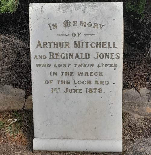
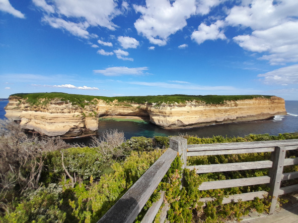
The Loch Ard Gorge is another seaside area, with dramatic scenery, a short drive west from The Twelve Apostles. The Loch Ard Gorge is named after the clipper ship Loch Ard which ran aground on nearby Muttonbird Island on 1 June 1878 as it approached the end of a three-month journey from England to Melbourne. There were fifty-four passengers and crew on board, only two surviving the incident: Tom Pearce, a ship’s apprentice; and Eva Carmichael, an Irish woman emigrating with her family, both of whom were 19 years of age. According to memorials at the site, Pearce was washed ashore, and rescued Carmichael from the water after hearing her cries for help. After that, Pearce proceeded to climb out of the gorge to raise the alarm to locals who immediately set into plan a rescue attempt. Three months after the incident, which claimed the lives of four of her family members, Carmichael returned to Europe. Pearce was hailed as a hero, and died aged 49. He is buried in Southampton, England. The arch of the nearby Island Archway collapsed in June 2009 and now appears as two unconnected rock pillars. They have since been officially named Tom and Eva after the two teenage survivors of the Loch Ard shipwreck.
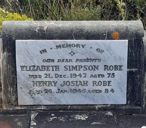
There is a cemetery at Loch Ard Gorge, in which some of the survivors of the wreck of Loch Ard were buried. But by no means all the people buried there were survivors, and some appear to have little or no connection to those who died in the wreck, although they could be relatives of those who died in the wreck, I suppose.
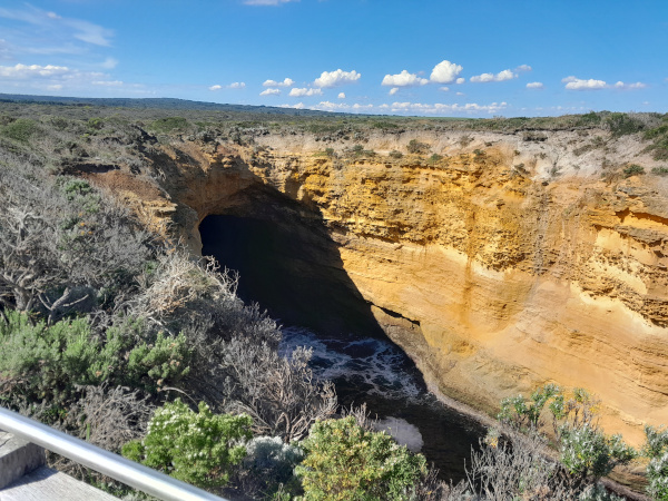
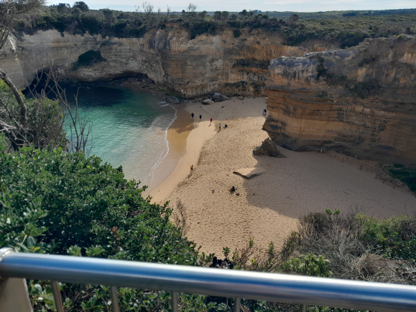
While at Loch Ard, we walked to the Thunder Cave and Muttonbird Island.
The Thunder Cave used to have an arch over it’s entrance many years ago, but today that arch is about 15 metres underwater having collapsed into the sea due to the constant pounding of the sea against the limestone rock faces and the dissolving effect of rainwater on the limestone it is comprised of. There is also a blowhole, which makes some thunder like sounds when sea water rushes in with nowhere to go and crashes against it’s walls.

Muttonbird Island, once the site of the wreck of the Loch Ard, is now home to an estimated more than 50,000 muttonbirds. On the island they are safe from the ravages of introduced predators. Breeding pairs keep the same burrow and partner for for many years, and often arrive from their northern migration on the same day each year in September. After they reunite, a breeding pair will clean out the burrow they used the previous year, mate, then leave the island to feed out at sea for three weeks. In late November a single egg is laid, and the parents take turns sitting on the nest while the other fishes at sea. ALl the eggs in the colony hatch between 10th and 20th January. By the age of 6 weeks, the chick is about 1kg in weight, and bigger than it’s parents. The first big storms in April signal the departure of the muttonbirds on their northern migration.

Apart from Thunder Cave and Muttonbird Island, there is plenty of other stunning scenery around Loch Ard to invoke a sense of awe.

Gibson Steps Beach is a location a few minutes east of the Twelve Apostles in Port Campbell National Park. It is notable for the 86 steps walkway one has to walk to get to the beach, the sheer 70 metre cliffs above the beach, and nearby limestone stacks nicknamed Gog and Magog.
Godfrey’s Grave, near Wye River, is a grave erected in the 1930s by the CRB (Country Roads Board) in memory of those who lost their lives in connection with the ship WB Godfrey, which was wrecked in March 1891. None of those travelling on the ship itself died as a result of the wreck, but 5 men lost their lives during subsequent attempts to salvage the timber and other cargo in April and June of the same year.

Today the wreck of the WB Godfrey plays an important role in the intertidal ecosystem of the beach and teams with molluscs, kelps, fish and other marine life.
Walk to Paradise
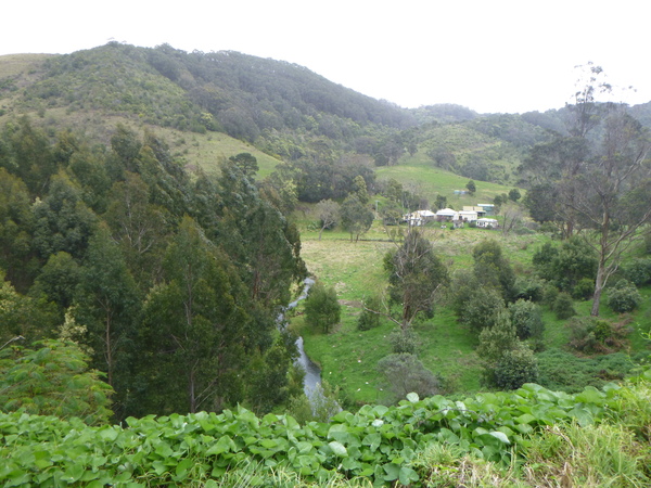
About 8km from Apollo Bay, tucked away in a verdant valley, is a place called “Paradise”. I might not have realised this was a place worth visiting if it wasn’t for some of dad’s slides that were labelled “paradise” and “walk to paradise”, and then seeing a street sign in Apollo Bay pointing towards it. The slides intrigued me, so one day I walked from the Pisces Tourist Park where we were staying to Paradise, a distance of around 9km. Along the way I was trying to figure out where the various locations shown on dad’s slides were. I think I managed to find some of them, but in 50+ years the landscape may have changed considerably from what is was back then.

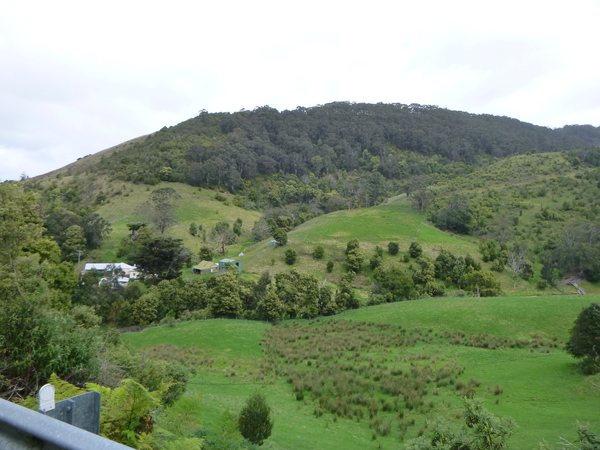
Walk to Marriners Lookout
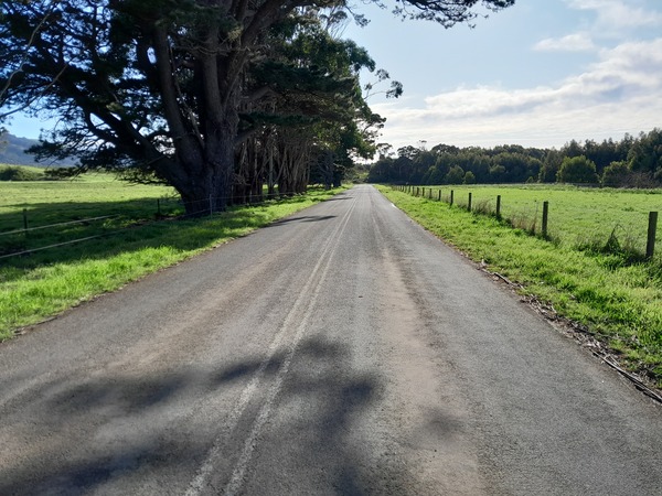
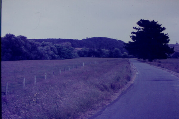
While on the subject of “old slides”, one morning I walked up to Marriners Lookout, which is perched in the nearby mountain ridge more or less above the Pisces Tourist park where we stayed. It was raining on and off during the walk, but the view from the lookout was still spectator. In dad’s slides, I think I found a slide of what could be the road up to what is Marriners Lookout today. The general scenery in the slide looks somewhat similar to that on the road to Marriners Lookout, except that the road is now asphalt whereas 50+ years ago it was gravel.
Wild Dog Creek Valley Walk
On the second last day of our stay in Apollo Bay, it being a Sabbath, I decided to do what I often do on Sabbath and went for a walk to explore. The Wild Dog Creek Road is a road that snakes it’s way into a steep sided valley, leaving the Great Ocean Road near Skenes Creek a few kms east of Apollo Bay. As the name suggests, it more or less follows the Wild Dog Creek. The Wild Dog Creek is 15km in length, the area surrounding it being extensively cleared in “the early part of last century” (according to interpretive signage). Livestock have been excluded from the estuary for around 20 years but the legacy of high levels of sedimentation in the estuary zone remains. The upper reaches of the creek, however, are in near pristine condition and is an excellent habitat for native fish. The Wild Dog Creek Road starts off close to creek level, but soon starts climbing it’s way up the side of the valley, and before long it is a considerable height above the creek with views across the valley to the hills beyond.

A number of threatened species rely on Wild Dog Creek for their survival which includes the Australian Grayling, Platypus, and Rufous Bristlebird. The walk was a very enjoyable way to spend a Sabbath afternoon, and as the road wound it’s way above the valley some of the vistas were nothing short of amazing.
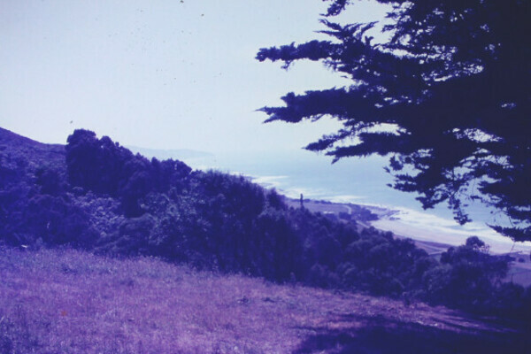
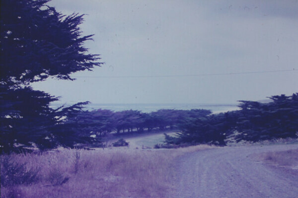
Slides of Apollo Bay area from 50+ Years Ago
As mentioned previously, while on this holiday I scanned and catalogued dad’s 35mm slides. Amongst them were some of Apollo Bay and the Great Ocean Road. These slides provide a bit of a glimpse into an Apollo Bay and surrounding area that existed more than half a century ago, providing a historical contrast with the photos I’ve shared of Apollo bay elsewhere in this post.
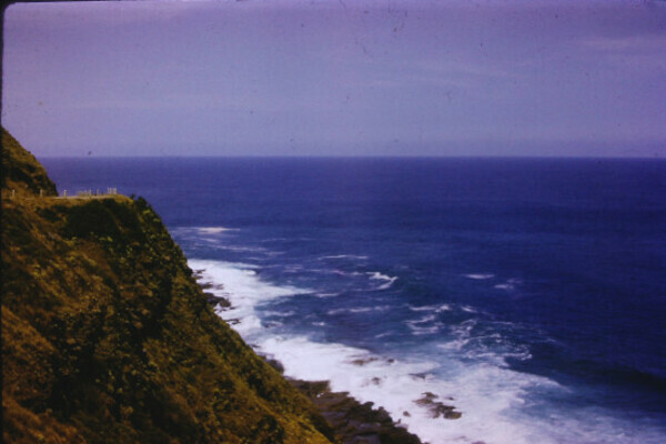
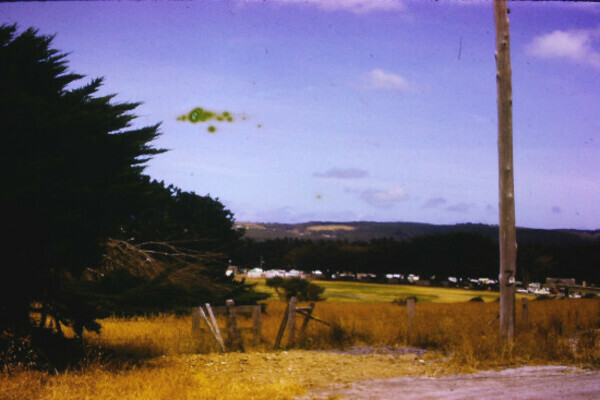
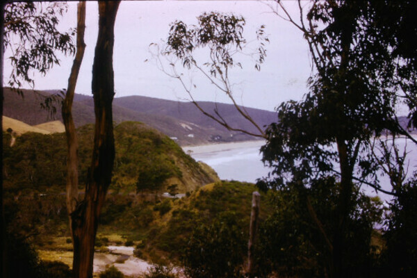


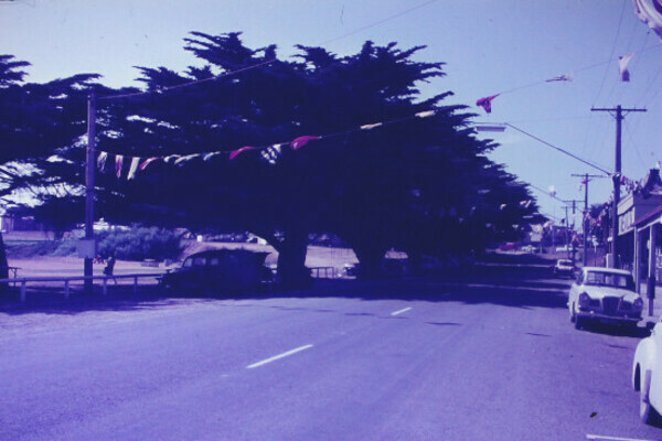
The slide above which show the Great Ocean Road on the side of a hill high above the ocean show scenes more or less like it is today, with the exception of a few extra barriers to on the side of the road to stop cars going over the edge into the ocean below.
You May Also Like
2 Comments
Sandy
You two seem to go on holidays a lot. – half your luck…..Your holiday to Apollo Bay was a walk down memory lane for me and Andy. Dad & Mum took us camping quite a few times to Apollo Bay and Elayne & myself walked to Paradise and back, boy was I tired after that walk. We also did walks along the beach to Skenes Creek which was always lovely. Dad & Mum liked Apollo Bay very much as they went there a few times with Pa & Nan Oliver after they were married. Nan Oliver loved crayfish so when we went on holiday Mum always bought her back a frozen crayfish. I always wanted to live there and have a holiday home but it didn’t eventuate. I just loved the Silo art at Colbinabin – the art work is super. Port Campbell is another favourite place of mine, not too good for swimming though as the currents can be quite dangerous. Andrea & I tried looking for a new home at Port Campbell but there is very little on the market at this time. So we bought a nice 3 year old home in Koroit about 11 kms from Warrnambool. We hope to move 22 Nov is every thing works out. Bye for now Luv Sandy
Mum
Hi James,
Sandy’s comment brought back memories. She sure has such a good vivid memory.
Your photos are so sharp and clear. I enjoyed the trip back down Memory’s Lane through your eyes.
Luv, Mum